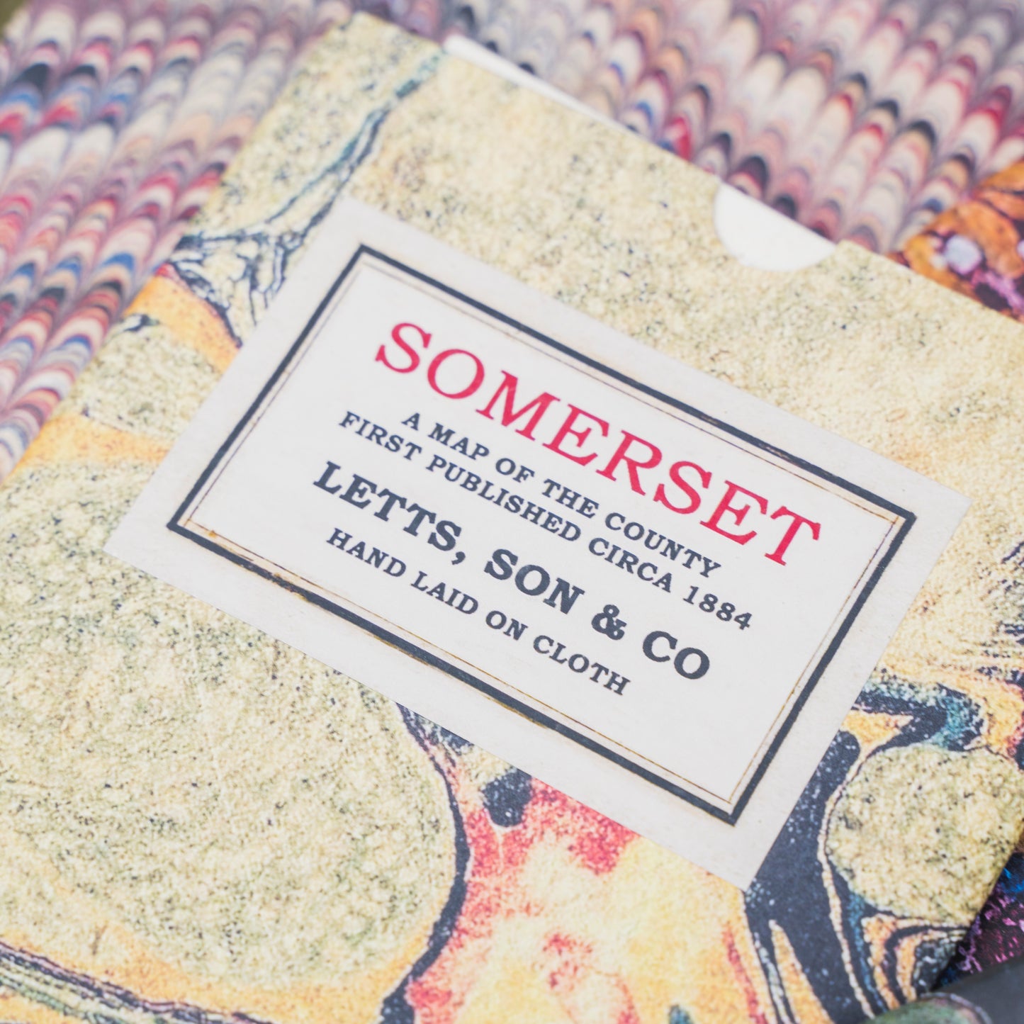
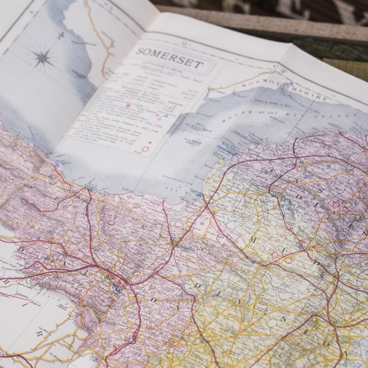
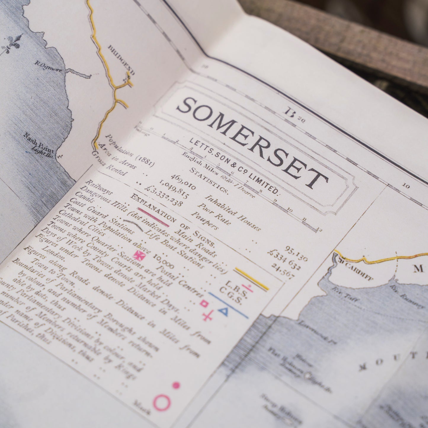
This beautiful antique county map of Somerset was first published circa 1884. Towns, villages & cities illustrated include Bridgewater, Axbridge, Bedminster, Bath, Yeovil, Taunton, and Minehead.
Prior to the mid 1800's most maps were copper or steel engravings that had to have any colour applied by hand. The introduction of lithography enabled printers to produce maps without the laborious process of hand colouring. This map shows just how far railways had spread by 1884, when long distance travel was at last within reach of ordinary people.
Dimensions: 400 x 500mm
Laid on 100% cotton and presented in a cardboard tube