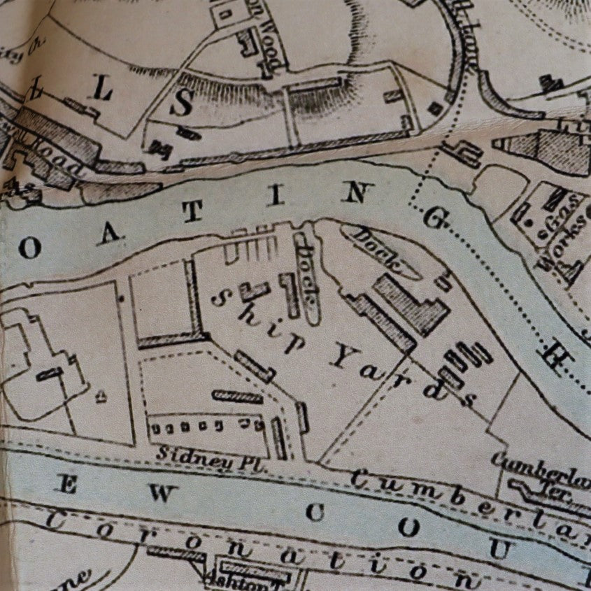


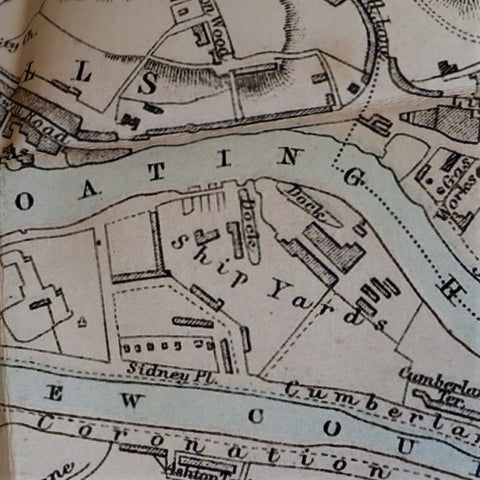
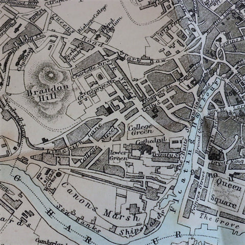

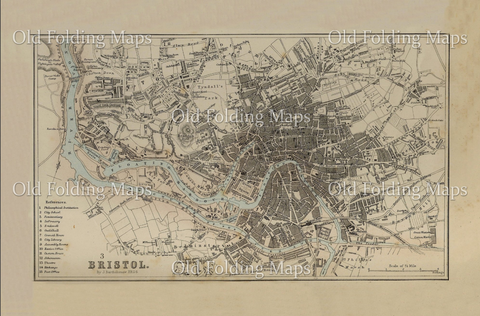
This detailed vintage map, first published circa 1872, depicts the City of Bristol. With street level detail the River Avon, harbour, and Brandon Hill are all clearly illustrated.
The dry dock which still houses the SS Great Britain can be seen within the Floating Harbour, as well as the Albion Dock next door which remains a working dock today. Buildings referenced on the key include the city school, penitentiary, infirmary, city library, and customs house.
Dimensions: 381 x 559mm
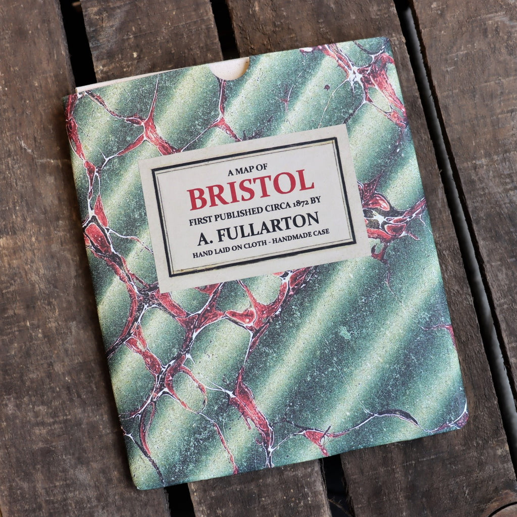
Laid on 100% cotton and presented in a marbled slip case. (Designs and colours of slip cases vary).